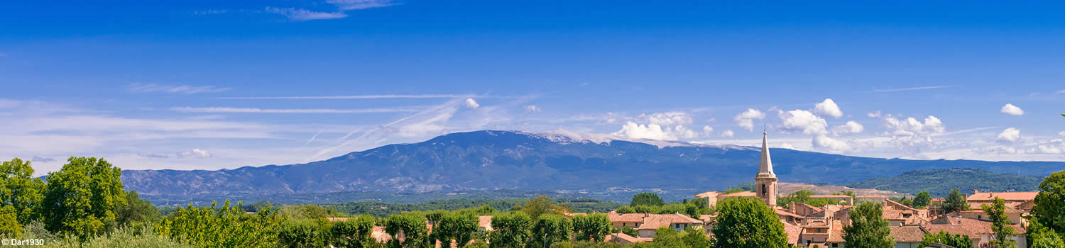
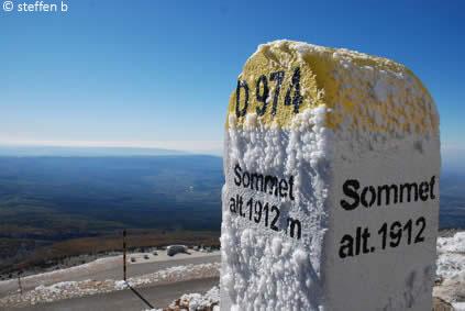
Swept violently by the winds, the Mont Ventoux has the highest summit in the Vaucluse (84). Topped with a white crest that gives it the illusion of eternal snows, its highest peak rises to 1912 metres. From its summit, in good weather, the 360° view stretches from the Alps to the Mediterranean Sea, from the Écrins Massif to the hills of the Cévennes, from the Sainte-Victoire Mountain to the Alpilles passing through the Étang de Berre and coming back to the Rhône Valley. At its feet, the plain of the Comtat Venaissin and the slopes of the Ventoux follow on from the lavender-covered plateaus of Sault, before refreshing itself in the Valley of the Toulourenc.
11 townships share the Mont Ventoux: Aurel, Beaumont-du-Ventoux, Bédoin, Brantes, Flassan, Malaucène, Monieux, Saint-Léger du Ventoux, Sault, Savoillan and Villes-sur-Auzon.
Its climate varies to the extremes (scorching in summer, down to -30° in winter) and a climatic terracing can be observed with Mediterranean temperatures at its base that turns to a temperate climate before rising to a high-mountain one at its summit.
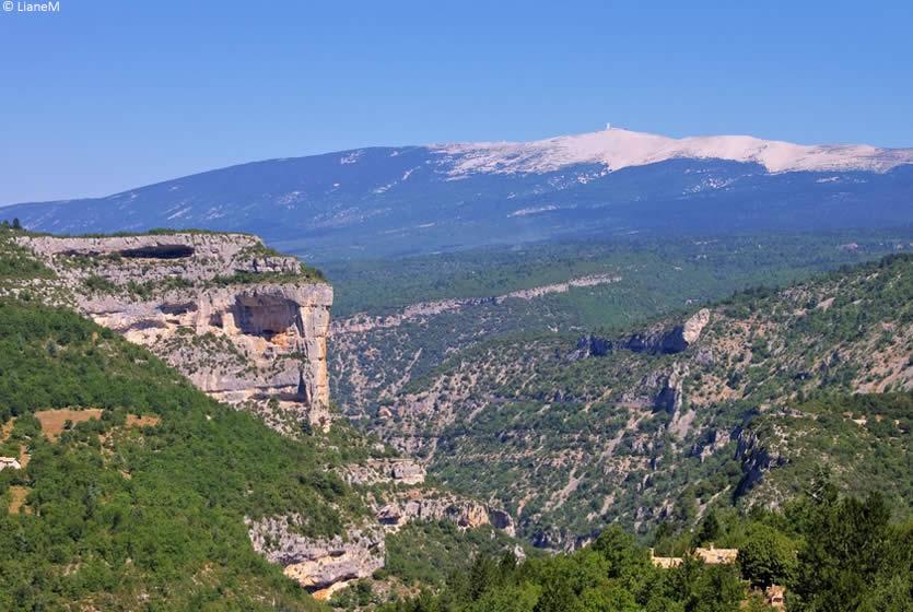
The gorges de la Nesque and the Mont Ventoux
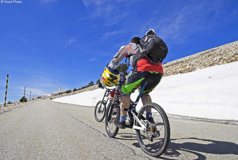
The Mont-Ventoux, an unmissable for cyclists
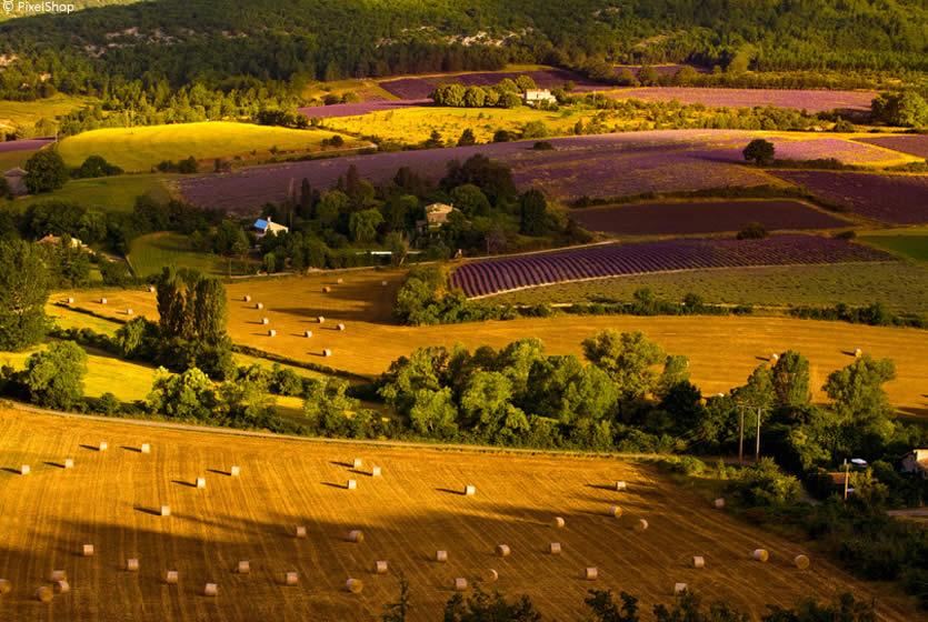
Fields of lavender and wheat to the country of Ventoux
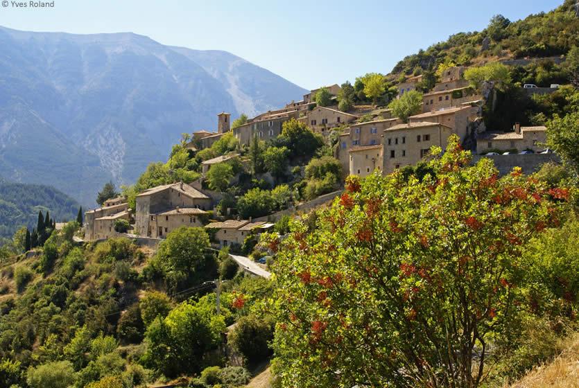
Brantes, perched village facing the Mont-Ventoux
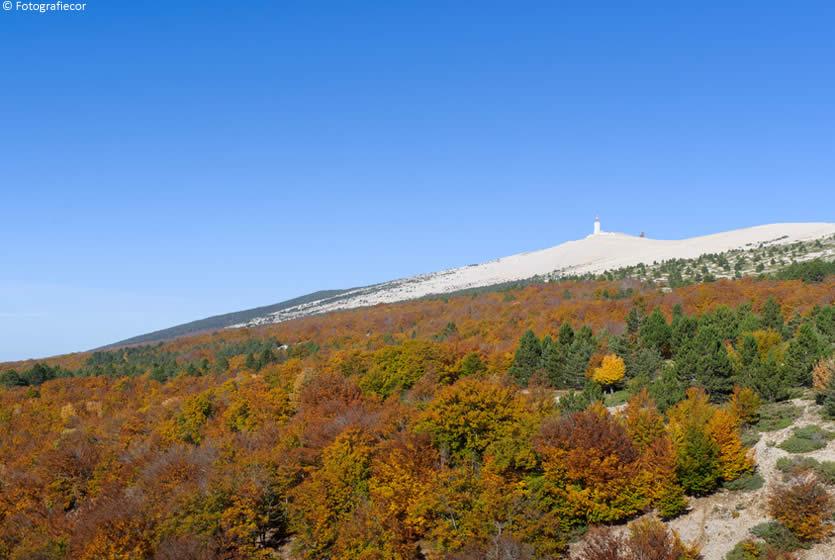
The Mont Ventoux in the Fall
The Mont Ventoux has a flora and fauna of a rare diversity: it abounds with nearly 1000 vegetal species. Since 1990, it is listed by UNESCO as a Biosphere reserve for its flora and fauna within the MIB (Man and Biosphere) programme.
On the gentle slopes of its southern face, we can see Mediterranean vegetation: Aleppo pines, holm oak, scrub, beech and mountain pines.
On the abrupt slopes of the northern side, holm oak, walnut trees, scrub and beech grow.
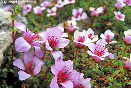
At the summit, exposed to extreme climatic conditions, a wide variety of alpine plants nonetheless survive, some very rare, even endemic, and even some seen in arctic regions, such as the Saxifraga of Spitzberg and Alpine poppy.
Hiking is indisputably the best means to discover all this richness.
To wander the Mont Ventoux, take the route D974 from Malaucène or Bédoin; it also leads to the Mont Serein ski station.
You can also undertake the ascension of Mont Ventoux leaving from Sault and going through the gorges of the Nesque (to the south) or the Toulourenc Valley (to the north).
An essential stage in the Tour de France, the most courageous will try cycling up.
Three possibles itineraries leave from:
- Bédoin with 21.6 km and 1610 metres of ascent, the route often used by the Tour de France.
- Malaucène with 21 km and 1220 metres of ascent.
- Sault with 26 km and 1220 metres of ascent and more moderate inclines of 5%.
Enjoy your climb!
Distances to the Chalet Reynard at the summit of the Mont Ventoux
- Avignon: 56 km
- Vaison-la-Romaine: 37 km
- Carpentras: 30 km
- Malaucène: 28 km
- Sault: 20 km
- Bédoin: 15 km
Mont Ventoux - 84410 Bédoin
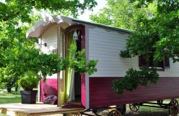
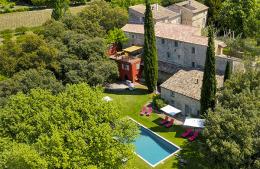
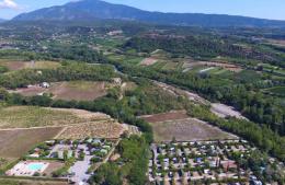
Where to sleep?